|
 |
 |
| I've always known about this SW marker. Though rather impermanent it has managed to stay put and allow me to eyeball the south and west boundaries with a compass. |
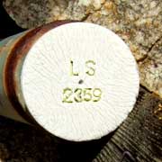
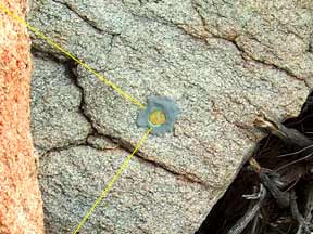
In 2007 I found these new stakes from a neighbor's recent survey and this old allusive tag that finally nails down our NW corner.
I am looking south, towards our land. |
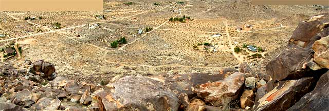
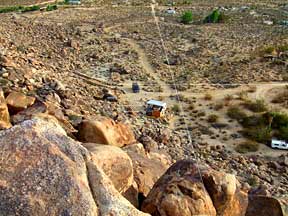
Looking north down the hill across the Joshua Tree community park into its distant town.
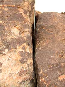
The tags are called monuments though most are no longer embedded in same. |
 |
 |
 |
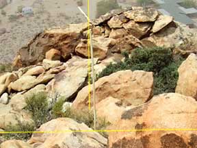
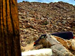
| Looking east from the NW corner towards the NE corner beyond the ridge to the left. |
This is the same perspective as in the image above this one; just further away to get a wider angle view of this ridge. |
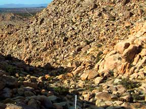
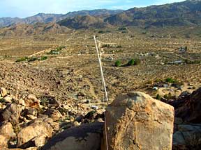
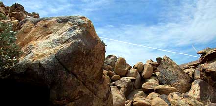
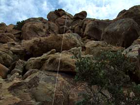
Back on top of the ridge in the previous picture looking south into the valley. I have added a PVC pole on the western border so that I will be able to see it from below. |
 |
 |
 |
| Fifty something years ago the original roads were cut along the borders of 10 acre parcels except where they had to skirt around a wash or hill. |
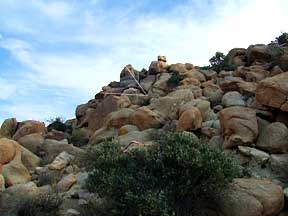
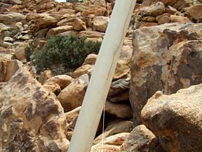
Looking from the SW corner up to where I placed the PVC pole on the ridge this side of the NW corner. |
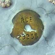
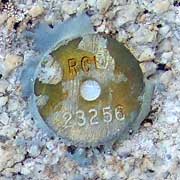
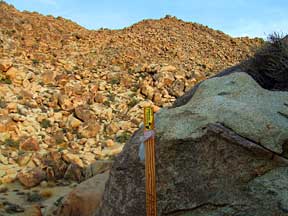
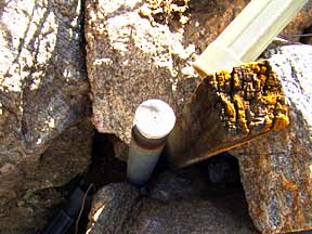
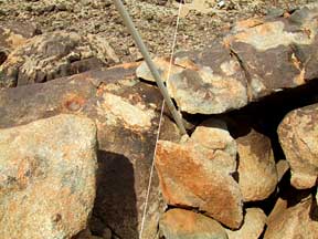
This is the marker at the SW corner. To get my bearings in the preceeding picture, the plastic pipe was temporarily slipped over the marker to extend it vertically. |
 |
 |
|
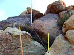
| A few days later I noticed that the pole had disappeared from below so I climbed on up and discovered that it had slipped down between the boulders that it was wedged into. |
So I hammered a steel fencing stake down adjacent to the old pole and slipped a wider PVC pipe over that. That should do it. |
|
 |
 |
 |
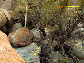
| What I first saw was an orange ribbon tied to a bush, probably by the original surveyor or perhaps the owner/subdivider. Then I found the SE tag below the bush. |
I placed a pole about a foot east of the tag and then another about 20 feet west on a ledge where it could be seen from below. |
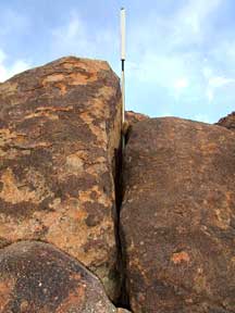
The one on the ledge is wedged into a crack at an angle due to the angle of the crack. It is also off the border by a few inches. |
 |
 |
Both poles in one merged image. The pole near the SE tag is high on the left and the angled ledge pole is centered on the right.
|
The ledge pole up close. |
 |
 |
 |
| Both poles from out front looking back. To see the SE tag pole (far rear) in perspective you may need to click on this one. |
Still in morning shadow and cloudy, I had waited for the cloudcover. With water and phone in my backpack I could feel secure in knowing that I would be making this return downhill. |
Three corners are established. I have heard about the fourth from a rock climber and I will find it, probably on my next visit to Joshua Tree. |